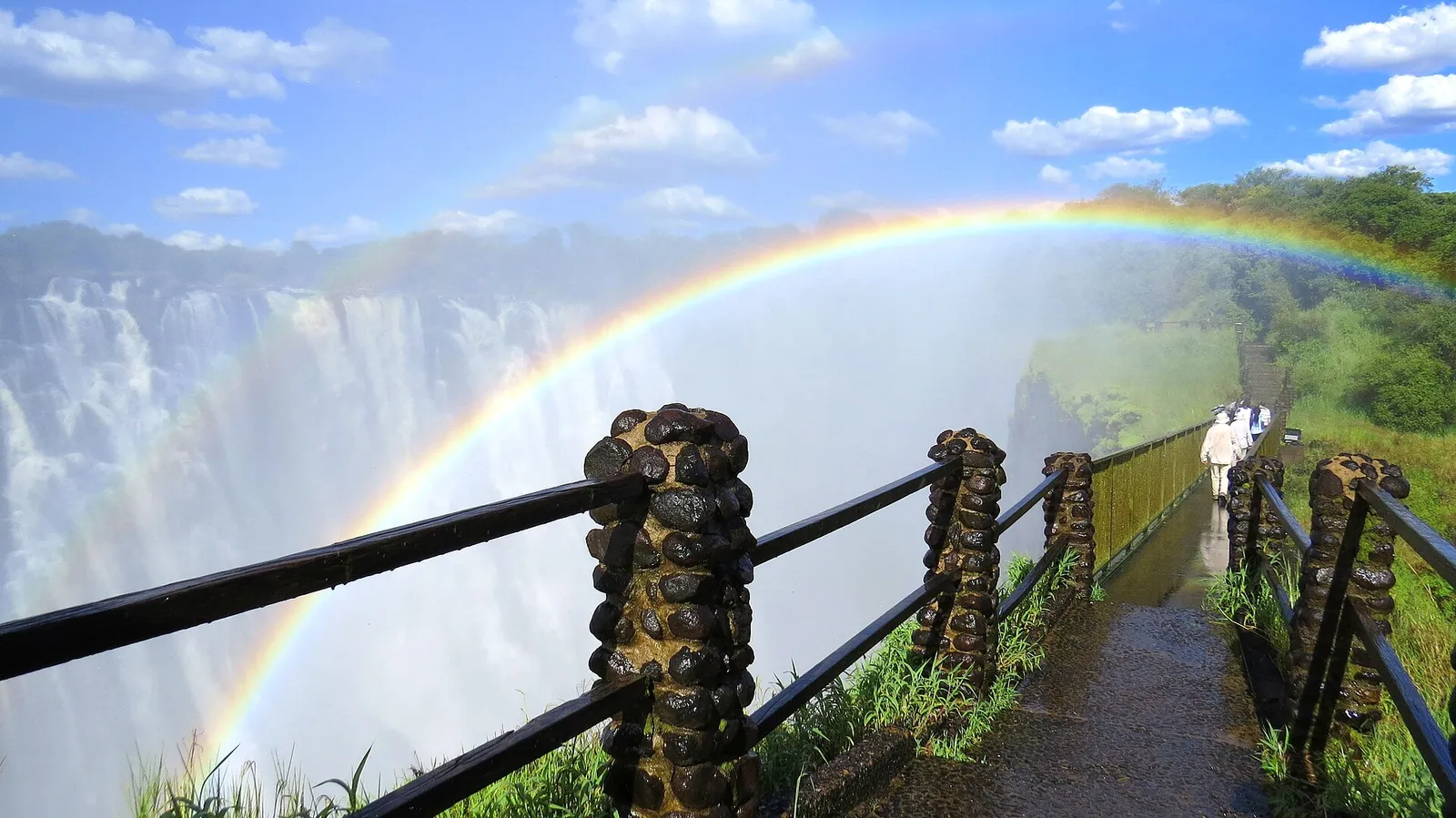
Zimbabwe & Zambia: Guided Tour of the Falls from Both Sides
Free cancellation · Pickup included
FromUS$63
See dates on GetYourGuide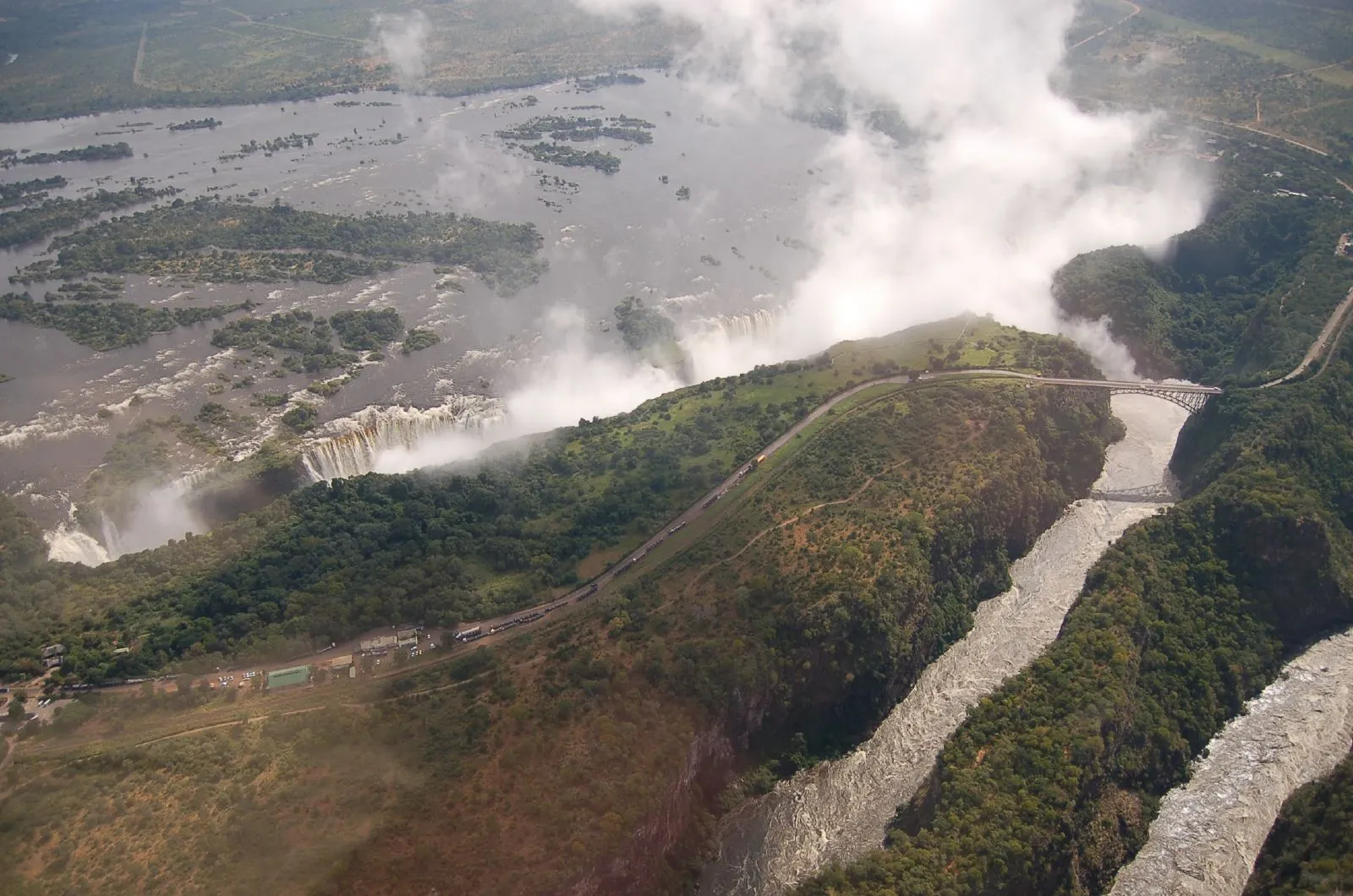
Last checked: October 2026
Day tour
Zimbabwe & Zambia: Guided Tour of the Falls from Both Sides
FromUS$63
Book on Viator or GetYourGuide and we may earn a small commission, at no extra cost to you. Affiliate disclosure
See dates on GetYourGuideMap of the towns and attractions in this guide, numbered as in the list below.
Drawn to scale from the attractions' Google Maps locations.
Roads: map data © OpenStreetMap contributors.
Town locations from OpenStreetMap, map data © OpenStreetMap contributors.
Locations of the attractions with no Google Maps listing from OpenStreetMap, map data © OpenStreetMap contributors.
Towns
Attractions
The interactive map loads from Google when you click, and Google may set cookies.
The sections below go area by area, from the falls themselves out to the airport and the neighbouring borders.
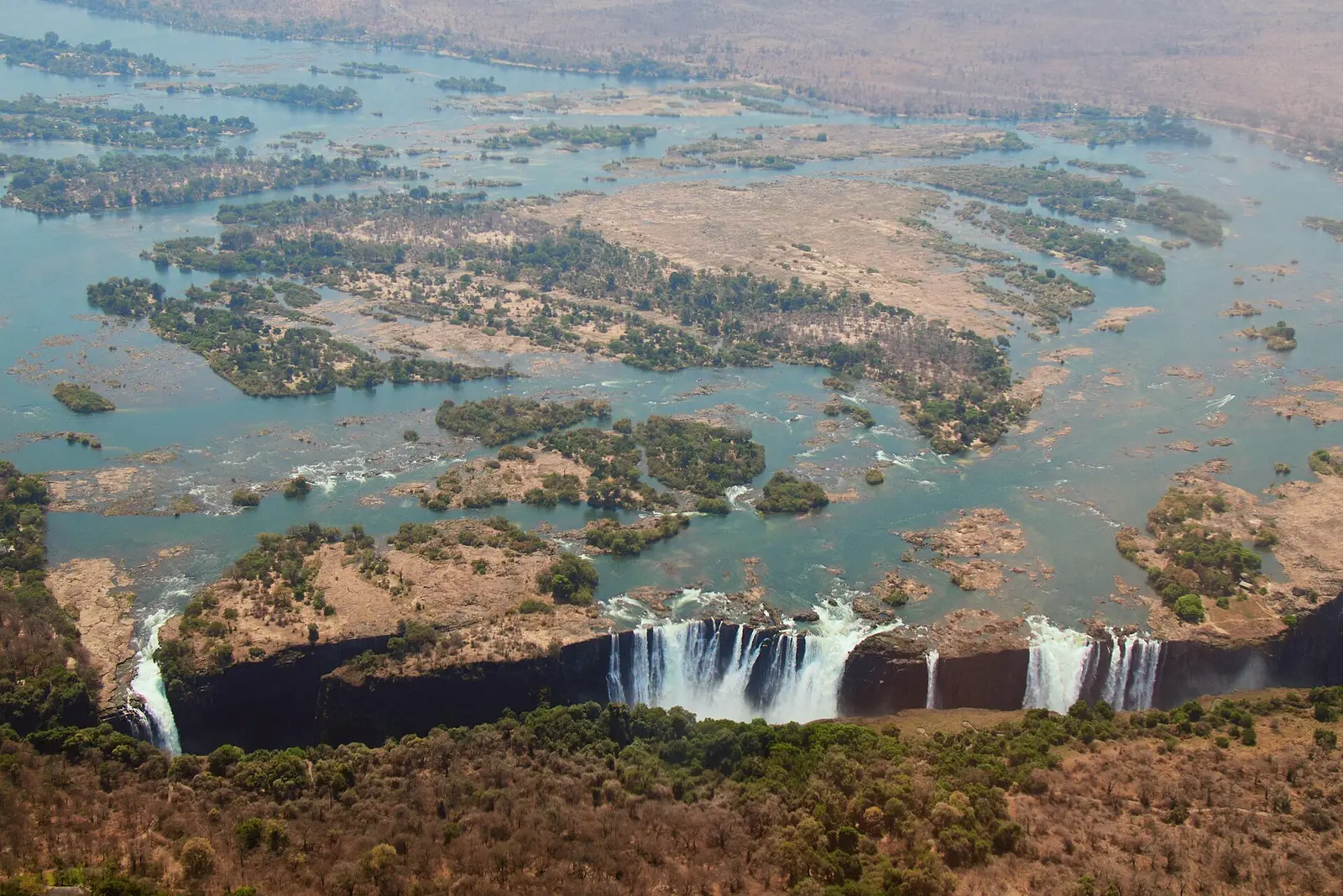
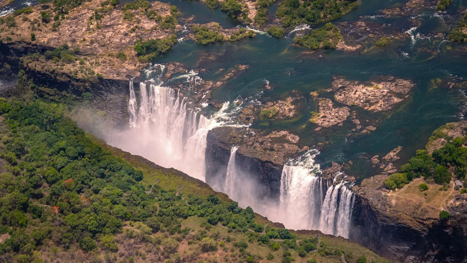
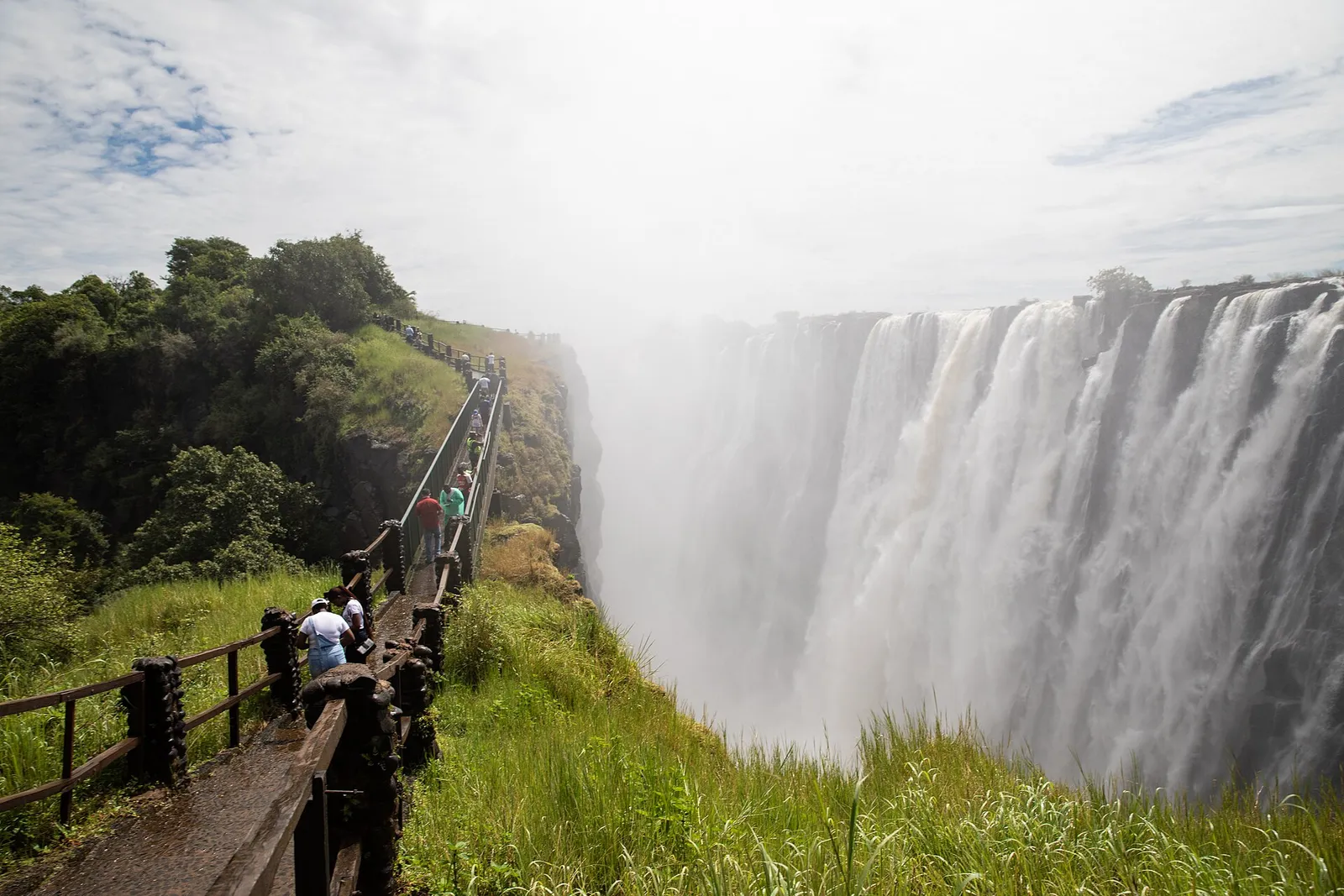
Victoria Falls National Park is the main viewing area for the falls on the Zimbabwean side3. It covers about 23.4 km² in north-western Zimbabwe4.
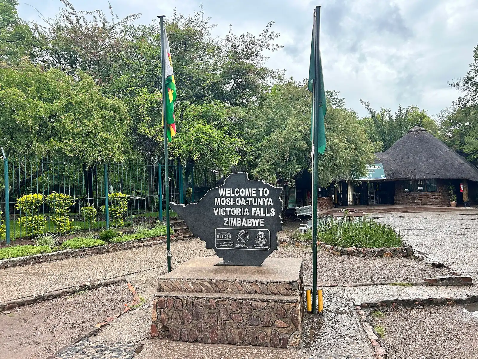
One naming quirk to know when you read signs and bookings: on the Zimbabwean shore, both the national park and the town are named Victoria Falls1. For the wider background, there’s more about Victoria Falls on its own page.
Victoria Falls town lies immediately next to the falls3, so you can reach the park easily from almost anywhere in it. Most places in town are no more than 3 km from the falls3.
The town page covers what’s in Victoria Falls town in more detail.
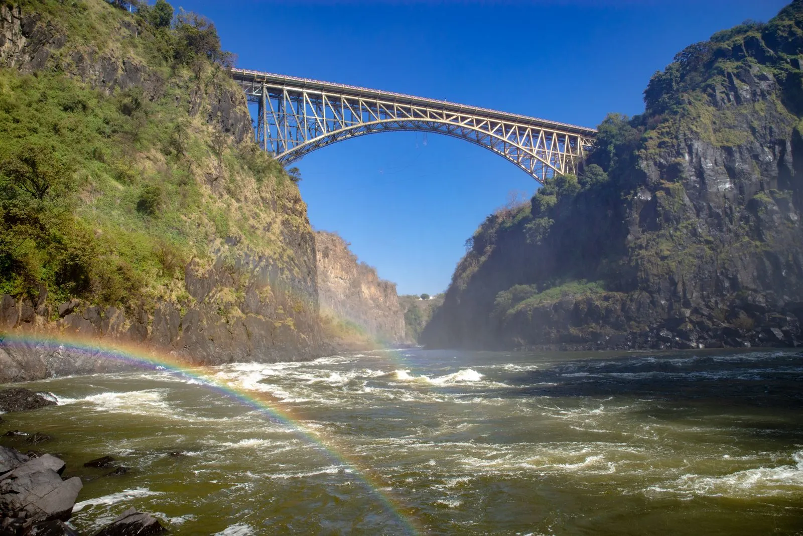
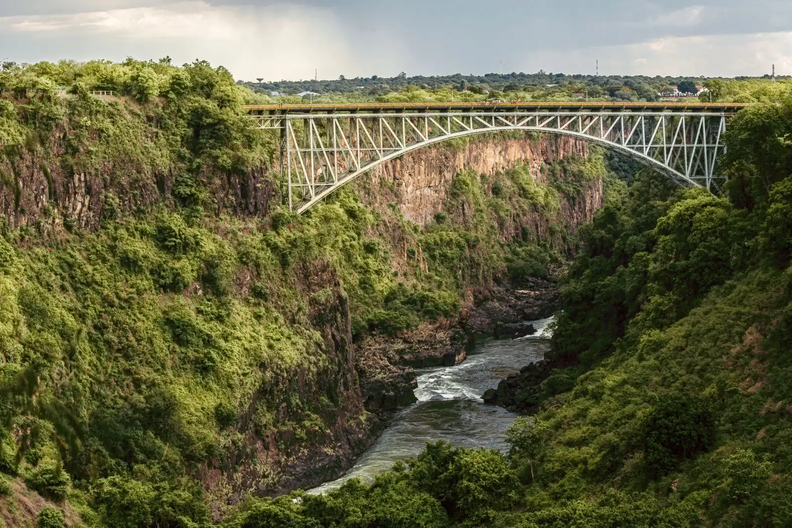
The Victoria Falls Bridge is a steel arch with a view of the falls from its centre3. This bridge over the Zambezi is the border between Zimbabwe and Livingstone, Zambia8.
Crossing back and forth is easy on a map, less so on paper, so read the foreign travel advice for Zimbabwe before you plan a day on both sides.
Livingstone is to Zambia what Victoria Falls town is to Zimbabwe9. It sits about 10 km from the falls, too far to want to walk9.
If you’re thinking of basing yourself across the river, see planning a stay in Livingstone. To see the falls from both banks in one go, a guided tour handles the crossing for you.
Free cancellation · Pickup included
FromUS$63
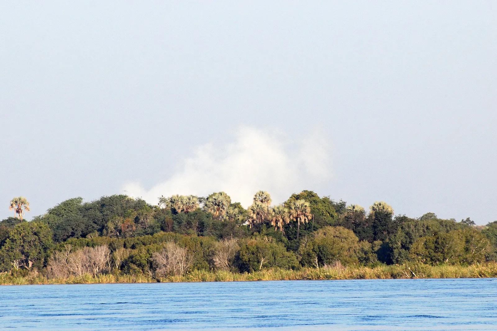
See dates on GetYourGuideZambezi National Park lies upstream from Victoria Falls on the Zambezi River12. It was split off from Victoria Falls National Park in 1979 and covers 56,000 hectares12.
Free cancellation · Pickup included
FromUS$88
See dates on GetYourGuideVictoria Falls is a few km from Botswana and Namibia2, which puts a second country within day-trip range. The Kazungula border post, the best road route from Kasane in Botswana, is about 70 km3 from Victoria Falls.
Many Victoria Falls visitors take a day trip to Chobe National Park in Botswana13. A Chobe day trip with lunch leaves from Victoria Falls, and the tours and packages page compares the other options.
Victoria Falls Airport is 18 km south of the town6, and the road from the airport into Victoria Falls is the A814. The table puts the main places around the falls side by side.
| Place | Distance | Where or how | Source |
|---|---|---|---|
| Victoria Falls Airport | 18 km | South of the town, on the A8 | Wikipedia |
| Victoria Falls Waterfront | 3 km | Upstream from the falls, in Mosi-oa-Tunya National Park | Tourism Update (news) |
| Livingstone, Zambia | About 10 km | From the falls, too far to want to walk | Wikivoyage |
| Kazungula border post | About 70 km | Best road route from Kasane, Botswana | Wikivoyage |
| Hwange | 109 km | South-east | Wikipedia |
| Bulawayo | 440 km | South-east | Wikipedia |
| Harare | About 900 km | Roughly 9 to 10 hours by road | Wild Horizons (operator) |
Wikipedia; Wikivoyage; Tourism Update (news); Wild Horizons (operator)
How the town links to the rest of Zimbabwe:
Flights, transfers and the border routes are all in the getting there guide.
Photos: Wikimedia Commons and Pexels. Authors and licences: image credits